

The cosmos, once envisioned as an endless frontier for exploration and innovation, is facing a growing challenge – orbital congestion. Years of satellite launches and missions have left behind a persistent legacy of defunct satellites, rocket fragments, and other man-made objects circling our planet, creating what’s commonly known as space debris. This isn’t just about aesthetics; the increasing density of this orbiting junk poses a significant threat to operational spacecraft and future missions, demanding urgent attention and innovative solutions. As reported by SpaceNews, the problem is escalating, with projections indicating potentially unsustainable levels of risk within decades if mitigation efforts aren’t dramatically improved. To address this critical issue, researchers are developing increasingly sophisticated methods for space debris tracking, aiming to predict collision risks and enable preventative maneuvers. A promising new approach is emerging from Brazil, offering a unique perspective on how we can better understand and manage this complex problem. The University of São Paulo (UNESP) has developed an intriguing model that leverages novel data analysis techniques to enhance our ability to monitor and forecast the movement of these orbital hazards. This Brazilian innovation represents a significant step forward in responsible space exploration and promises to contribute meaningfully to safeguarding our access to space.
The current landscape involves numerous international efforts, but pinpointing and predicting the behavior of smaller debris objects remains incredibly difficult. Existing systems often struggle with accuracy or coverage limitations, leaving gaps in our understanding of potential collision pathways. UNESP’s model seeks to bridge these gaps by incorporating a combination of ground-based radar data and advanced algorithms, allowing for more precise space debris tracking and improved risk assessment. Their work highlights the importance of collaborative research and open-source solutions in tackling global challenges like orbital sustainability. We’ll delve deeper into the specifics of this Brazilian approach and explore its potential impact on the future of space operations.
The Escalating Space Debris Crisis
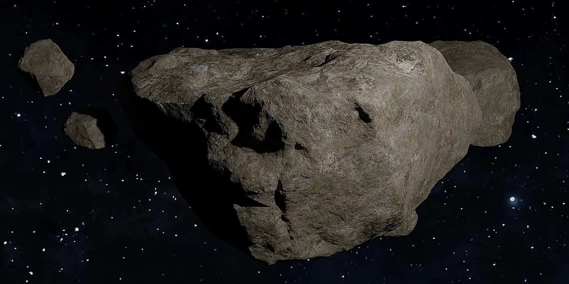
The problem of space debris is no longer a futuristic concern; it’s a present and escalating crisis threatening our access to space. Currently, an estimated 27,000 objects larger than a grapefruit are orbiting Earth – remnants of defunct satellites, spent rocket stages, and fragments from accidental collisions or intentional destruction. Beyond these tracked pieces, millions of smaller particles, as tiny as dust motes but traveling at incredible speeds (up to 17,500 mph), pose a significant risk. These objects represent a growing orbital graveyard, and the situation is only becoming more precarious with increased launch activity.
The origins of this debris are varied. While some comes from natural sources like meteoroids, the vast majority is human-made. Early space missions often left equipment behind after completing their objectives, contributing to the initial accumulation. More recently, intentional destruction events – notably satellite tests involving anti-satellite weapons – have generated massive clouds of fragments, dramatically increasing the density of debris in certain orbital regions. Even seemingly minor collisions between even small pieces can create thousands more fragments, compounding the problem exponentially.
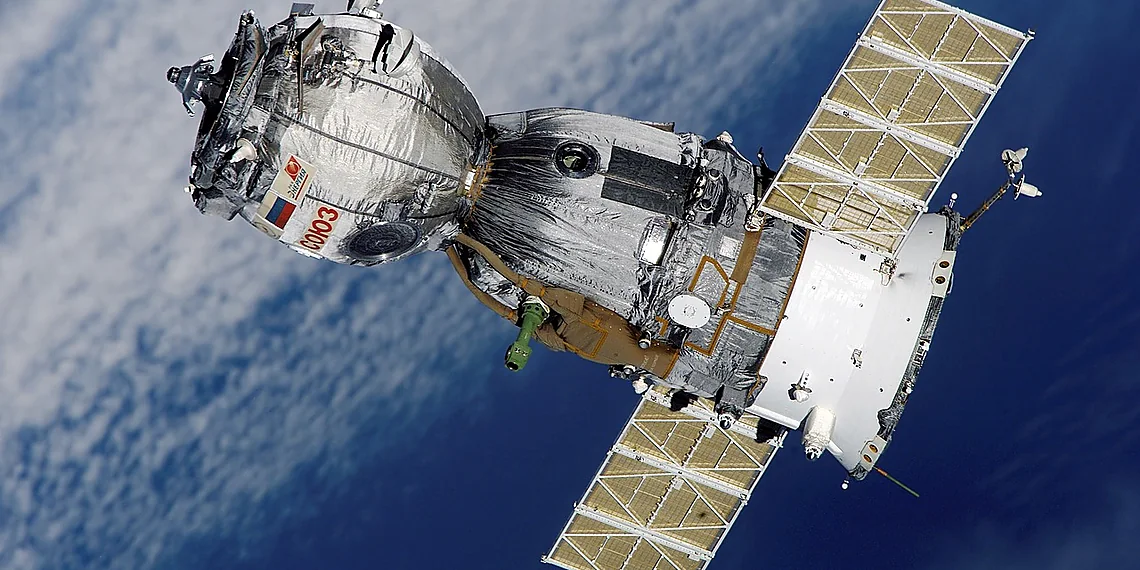
The risks posed by space debris are substantial and multifaceted. Operational satellites, including those vital for communication, navigation (like GPS), weather forecasting, and scientific research, are constantly at risk of being struck. A collision with even a small piece of debris can cause irreparable damage, rendering a satellite useless or shortening its lifespan significantly. The financial implications of losing these assets are enormous, as are the disruptions to essential services they provide.
Perhaps the most frightening scenario is the Kessler Syndrome, a chain reaction where collisions generate more debris, which in turn increases the likelihood of further collisions. This could lead to a cascade effect, rendering certain orbital regions unusable for decades or even centuries, effectively blocking access to space and hindering future exploration and technological advancements.
A Growing Orbital Graveyard
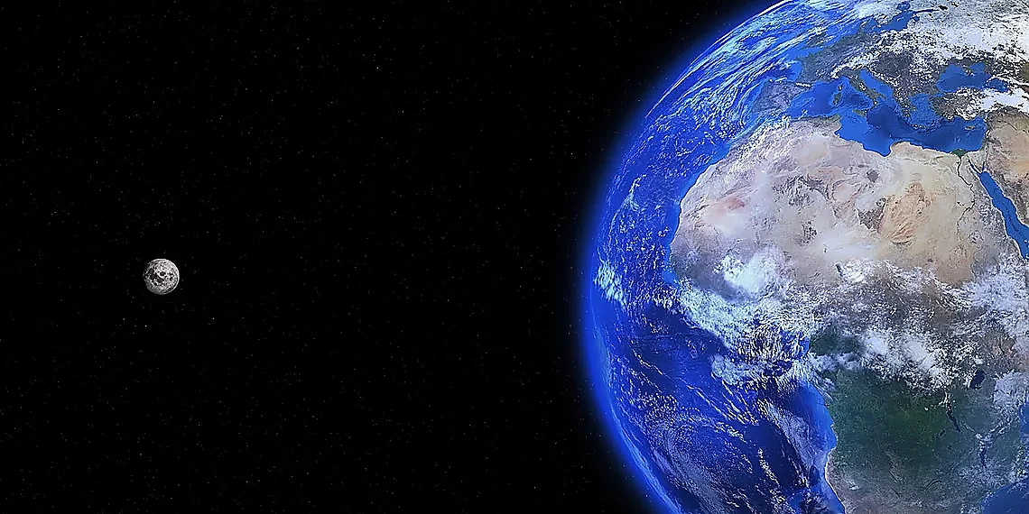
The orbital environment is increasingly cluttered with ‘space debris,’ encompassing everything from defunct satellites and discarded rocket stages to tiny fragments resulting from accidental collisions or intentional destruction. As of early 2024, estimates place over 36,500 objects larger than 10 centimeters orbiting Earth, actively tracked by organizations like the U.S. Space Surveillance Network. Millions more pieces, ranging in size from millimeters down to microscopic dust particles, also pose a threat – although they are far harder to monitor. This accumulation isn’t uniform; lower Earth orbits (LEO) are particularly congested, with significant debris concentrations at altitudes frequently used for satellite deployments and scientific missions.
The sheer volume of this junk presents a serious hazard. Operational satellites routinely perform collision avoidance maneuvers to dodge known pieces of debris, consuming valuable fuel and potentially disrupting mission timelines. The risk isn’t just from larger objects; even a small fleck of paint traveling at orbital velocities (thousands of miles per hour) can critically damage or disable a spacecraft. This escalating problem has led to concerns about the ‘Kessler Syndrome,’ a theoretical scenario where collisions generate more debris, leading to further collisions in a cascading effect that could render certain orbits unusable for decades or even centuries.
The potential consequences of a Kessler Syndrome event are profound. It would severely impede future space exploration and satellite-dependent services – everything from global communications and weather forecasting to GPS navigation and scientific research. While the Brazilian model developed by researchers at UNESP aims to improve tracking capabilities, mitigating the debris problem requires international cooperation focused on responsible space operations, improved collision avoidance systems, and active debris removal technologies.
Introducing the UNESP Model
The rising concern over space debris has spurred innovative solutions globally, and Brazil is now contributing a unique approach with the UNESP Model. Developed by researchers at São Paulo State University (UNESP), this system offers a fresh perspective on tracking objects orbiting Earth, aiming to improve upon existing methods and provide more accurate predictions of potential collisions. Unlike many current systems that rely heavily on data from established international agencies, the UNESP model incorporates publicly available datasets alongside its own proprietary algorithms, fostering greater accessibility and potentially filling gaps in coverage.
At the heart of the UNESP Model lies a sophisticated methodology combining radar observations and optical telescope data. The system leverages freely accessible satellite tracking information from sources like CelesTrak and utilizes these inputs to refine its predictive capabilities. Crucially, researchers have developed novel algorithms designed to account for atmospheric drag – a significant factor influencing debris trajectories that’s often underestimated in simpler models. This allows the UNESP model to provide more precise estimations of orbital decay and potential re-entry points.
A key differentiator is the emphasis on probabilistic analysis within the UNESP Model. Rather than simply providing a single predicted orbit, it generates a range of possible paths based on various input uncertainties. This ‘fuzzy’ approach allows users – including satellite operators and space agencies – to better assess risk and plan maneuvers accordingly. While existing systems frequently present deterministic trajectories, the UNESP model’s probabilistic output provides a more nuanced understanding of the inherent uncertainty in space debris tracking, leading to potentially safer operational decisions.
The development team, led by Jorge Kennety S. Formiga, intends for the UNESP Model to be open-source and accessible to researchers worldwide, fostering collaboration and further refinement of space debris mitigation strategies. This commitment to transparency and shared knowledge distinguishes it from proprietary tracking systems and underscores Brazil’s growing role in addressing this critical global challenge.
How It Works: A New Approach to Tracking
The UNESP model for space debris tracking leverages a combined approach using both radar data and optical telescope observations. Radar provides information about the size, location, and velocity of objects regardless of sunlight conditions – crucial for tracking debris that isn’t illuminated by the sun. Optical telescopes, on the other hand, offer higher resolution imagery allowing for more precise determination of an object’s position and potentially its shape or composition. The model integrates data from publicly available sources like NORAD (North American Aerospace Defense Command) catalog information and observations made at UNESP’s own observatories.
At the core of the system are sophisticated algorithms designed to filter noise, correlate data points from different sources, and predict future trajectories. These algorithms employ statistical methods and machine learning techniques to account for gravitational forces, atmospheric drag (which significantly affects lower Earth orbit), and solar radiation pressure. The model doesn’t simply extrapolate current positions; it factors in these variables to generate probabilistic predictions about where debris will be at a given time – essential for collision avoidance planning.
A key differentiator of the UNESP model is its focus on improving accuracy, particularly for smaller pieces of debris which are often poorly tracked by existing global systems. While larger objects (like defunct satellites) have relatively well-maintained orbital data, tracking centimeter-sized fragments remains a challenge. The Brazilian team’s approach aims to refine these predictions using more granular observational data and advanced algorithms, contributing to a more comprehensive understanding of the space debris environment and reducing the risk of collisions.
Benefits & Potential Impact
The newly developed Brazilian model for space debris tracking offers significant practical advantages over existing methods, promising a tangible improvement in our ability to manage this growing threat. Current tracking systems often rely on ground-based radar and optical telescopes, which can be limited by weather conditions, resolution capabilities, and the sheer volume of data needing processing. This new model, developed by researchers at UNESP, aims to overcome these limitations, potentially providing more accurate and frequent updates on debris locations – a crucial factor in preventing collisions.
A key benefit lies in enhanced collision avoidance capabilities. More precise tracking allows for earlier warnings about potential close approaches between operational satellites and pieces of space junk. This extended warning time is vital; it gives satellite operators the opportunity to maneuver their spacecraft, averting potentially catastrophic events that could damage valuable assets or even create further debris through a cascading effect known as Kessler Syndrome. The improved accuracy also reduces the likelihood of false alarms, saving resources currently expended on unnecessary avoidance maneuvers.
Beyond simply tracking debris, this model has the potential to contribute significantly to broader space sustainability efforts. By providing more comprehensive data about the orbital environment, it can inform and refine debris mitigation strategies – practices aimed at preventing new debris from being created in the first place. This includes optimizing satellite deployment procedures, designing satellites for end-of-life deorbiting, and even exploring active debris removal technologies. Ultimately, a clearer understanding of space junk distribution is essential for ensuring long-term access to space for all nations.
The Brazilian model’s development also presents exciting opportunities for international collaboration. Space debris is a global problem demanding shared solutions. Sharing data and expertise with other countries – particularly those facing similar challenges or possessing complementary tracking capabilities – can dramatically improve the effectiveness of overall monitoring efforts. This collaborative approach fosters a more responsible and sustainable space environment, benefiting everyone reliant on access to orbit.
Beyond Tracking: Contributing to Space Sustainability

The newly developed Brazilian space debris tracking model offers significant potential beyond simply identifying objects in orbit. By providing more accurate and frequent data on the location and trajectory of debris, it can directly inform improved collision avoidance strategies for operational satellites. This enhanced awareness allows satellite operators to proactively adjust their orbits, minimizing the risk of collisions that generate even *more* debris – a positive feedback loop contributing to overall space safety.
Crucially, this model’s data can be used to develop and refine broader debris mitigation plans at both national and international levels. Understanding the distribution and behavior of space junk allows for more targeted efforts in areas like end-of-life satellite disposal procedures (deorbiting) and preventing accidental fragmentation events. The increased precision offered by the Brazilian model contributes to a more evidence-based approach to responsible space operations, moving beyond general guidelines towards tailored solutions.
Looking ahead, advancements in space debris tracking models like this one pave the way for even bolder initiatives. The detailed data generated can be instrumental in planning and executing active debris removal (ADR) missions – physically capturing and removing existing debris from orbit. While ADR is a complex technological challenge, accurate tracking forms the essential foundation upon which such operations can safely and effectively be implemented, furthering long-term space sustainability.
Looking Ahead: The Future of Space Debris Monitoring
The burgeoning problem of space debris – defunct satellites, rocket fragments, and other man-made objects orbiting Earth – demands increasingly sophisticated monitoring solutions. Beyond the impressive new model developed by researchers at UNESP in Brazil, a broader global trend points towards significant advancements in how we track and mitigate this hazard. These efforts are driven by growing concerns about collision risks to operational satellites and future space missions, highlighting the need for proactive measures rather than reactive responses.
Several key technological areas are fueling this evolution. We’re seeing improvements in ground-based radar systems capable of detecting smaller pieces of debris, alongside the development of optical sensors that can precisely map orbital positions. Crucially, Artificial Intelligence (AI) and machine learning algorithms are becoming integral to processing the vast amounts of data generated by these sensors, automating object identification, predicting trajectories, and ultimately, assessing collision probabilities with greater accuracy than previously possible.
International regulations and collaborative initiatives also play a vital role in addressing space debris. While existing guidelines from organizations like the UN Committee on the Peaceful Uses of Outer Space (COPUOS) offer frameworks for responsible space operations, there’s ongoing discussion about strengthening these rules and enforcing compliance. The UNESP model contributes to this global effort by providing a potentially cost-effective and accessible solution for tracking debris, particularly valuable for nations with limited resources or infrastructure – demonstrating how localized innovation can contribute to a larger international challenge.
Looking ahead, the future of space debris monitoring will likely involve constellations of dedicated satellites equipped with advanced sensors, coupled with increasingly sophisticated AI-powered analytics platforms. The UNESP model’s focus on adaptable algorithms and open-source principles aligns well with this trajectory, positioning it as a valuable tool in the ongoing quest to ensure the long-term sustainability of our orbital environment and safe access to space for all.
The escalating problem of orbital congestion demands urgent attention, as unchecked accumulation poses a significant threat to current and future space missions worldwide. The Brazilian model developed at UNESP offers a genuinely promising pathway toward improved situational awareness, demonstrating that innovative solutions can emerge from unexpected places. This new approach to space debris tracking highlights the power of collaboration and localized expertise in tackling global challenges. Looking ahead, the continued refinement and wider adoption of such models are essential for ensuring the long-term viability of our access to space. The future of exploration and satellite services depends on proactive measures that safeguard the orbital environment; inaction is simply not an option. Let’s champion a sustainable space ecosystem where scientific discovery and technological advancement can flourish without jeopardizing the very infrastructure that makes it possible. We strongly encourage you to delve deeper into space sustainability initiatives – research organizations, government programs, and private sector efforts are all working towards solutions. Your support, whether through informed engagement or advocacy, is crucial in mitigating space debris and securing a safer future for everyone who looks to the stars.
$#@$%$%^&*(%$#@!$%$#@$!$#@%!$%$#@!$%$#@!$%$#@!$%$#@!$%$#@!
Continue reading on ByteTrending:
Discover more tech insights on ByteTrending ByteTrending.
Discover more from ByteTrending
Subscribe to get the latest posts sent to your email.