The quest for a deeper understanding of our planet’s dynamic systems demands increasingly sophisticated tools, and that pursuit just received a significant boost. Europe’s Copernicus program, already renowned for its groundbreaking Earth observation satellites, is entering an exciting new phase with the imminent Sentinel-1D launch. This isn’t merely another satellite; it represents a crucial expansion of our ability to monitor everything from polar ice caps to agricultural landscapes and disaster zones worldwide.
The Sentinel constellation has consistently provided invaluable data, but achieving truly continuous monitoring requires redundancy and increased capacity. The Sentinel-1D mission directly addresses this need, acting as a vital backup for the existing Sentinel-1 satellites while simultaneously enhancing overall data availability and reliability. Its deployment is particularly significant given its piggyback ride aboard the inaugural Ariane 6 rocket, marking another milestone in European spaceflight.
With enhanced radar imaging capabilities, Sentinel-1D promises to deliver even more precise and timely information crucial for climate change mitigation, disaster response efforts, maritime surveillance, and a host of other applications. The implications are far-reaching, offering stakeholders across numerous sectors the ability to make informed decisions based on consistently updated Earth observation data.
The Copernicus Program & Sentinel-1 Mission
The recent Sentinel-1D launch marks a significant step forward in Earth observation capabilities, but to fully appreciate its importance, it’s helpful to understand the broader context of the Copernicus Programme. Copernicus isn’t just about satellites; it’s a comprehensive European Union initiative designed to provide valuable information for managing our planet and improving lives. Think of it as Europe’s eye on Earth – a system dedicated to monitoring environmental changes, responding to natural disasters, and ensuring security.

Funded primarily by the EU with contributions from member states, Copernicus encompasses six thematic areas: Atmosphere, Marine Environment, Land Management, Safety & Security, Climate Change, and Emerging Issues. It combines satellite data with in-situ measurements (ground stations, sensors deployed in oceans) to create a holistic picture of our world. This data isn’t just for scientists; it’s used by governments, humanitarian organizations, businesses, and citizens alike to make informed decisions.
At the heart of Copernicus lies the Sentinel constellation – a series of dedicated satellites designed to collect specific types of Earth observation data. Each Sentinel satellite is equipped with specialized instruments, contributing unique perspectives on our planet’s processes. The Sentinel-1 mission, in particular, utilizes radar technology, allowing it to ‘see’ through clouds and darkness, providing crucial information regardless of weather conditions or time of day. This makes Sentinel-1 invaluable for applications like monitoring sea ice, tracking oil spills, mapping deforestation, and aiding disaster relief efforts.
The addition of Sentinel-1D further strengthens this vital mission. By joining its existing counterparts in orbit, the Sentinel-1 constellation enhances data coverage and frequency, ensuring even more reliable and timely information is available to those who need it most – from emergency responders on the ground to researchers studying long-term environmental trends.
What is Copernicus?
The Copernicus Programme is a major European Union initiative aimed at improving our understanding of – and ability to respond to – environmental challenges facing our planet. Think of it as Europe’s eyes and ears on Earth, providing vital data for informed decision-making. It’s not just about satellites; it encompasses a network of ground stations, scientific analysis centers, and user services all working together.
Funded primarily by the European Union with contributions from member states, Copernicus has a substantial budget dedicated to developing and operating a constellation of Earth observation satellites known as Sentinels. These satellites are specifically designed to monitor various aspects of our environment, including land use changes, sea ice extent, air quality, and disaster zones.
The impact of Copernicus is truly global. The data collected is freely available to everyone – governments, scientists, businesses, and individuals – fostering collaboration and driving innovation in areas like climate change mitigation, sustainable agriculture, maritime safety, and humanitarian aid. It’s a powerful example of how space-based technology can contribute to a more resilient and informed world.
Sentinel-1D: A Technological Leap
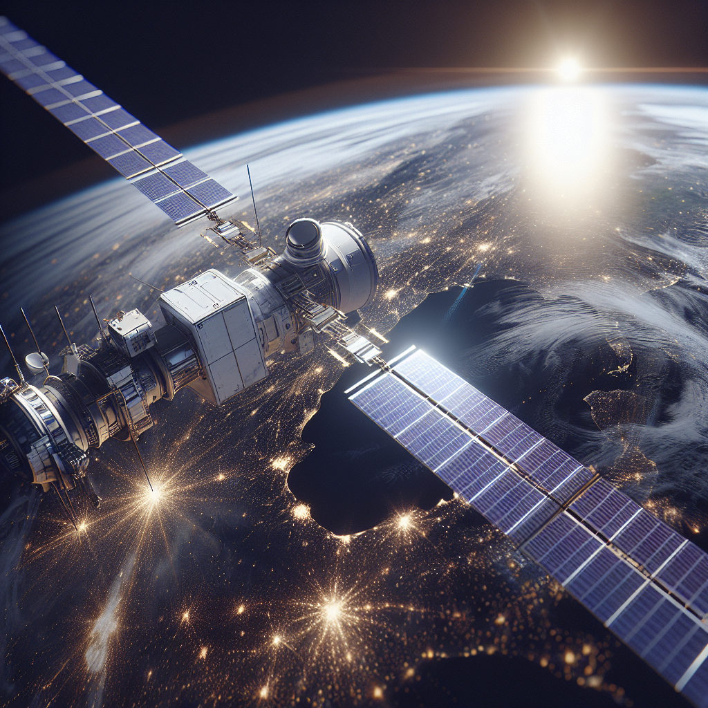
The recent launch of Sentinel-1D marks a significant technological leap for Europe’s Copernicus programme, dramatically bolstering Earth observation capabilities. Following its successful deployment on November 4th, 2025, aboard an Ariane 6 rocket from French Guiana, Sentinel-1D joins the existing fleet of Sentinel-1 satellites – A, B, and C – creating a powerful constellation dedicated to radar imaging. Unlike optical sensors that rely on sunlight, Sentinel-1’s radar capabilities allow it to ‘see’ through clouds and darkness, providing vital data for a wide range of applications from disaster response and maritime surveillance to environmental monitoring and agricultural assessment.
The true power of Sentinel-1D lies in its tandem operation with Sentinel-1C. Previously, the existing satellites provided excellent coverage, but operating them in tandem – approximately 180 degrees apart in their orbits – drastically increases the frequency with which any given location on Earth is observed. This configuration allows for near real-time monitoring of dynamic events like floods and oil spills, significantly improving response times and enabling more proactive management strategies. Imagine a scenario where rapid changes are occurring; with tandem operation, we can effectively double the amount of data collected over a specific area compared to before.
This enhanced coverage isn’t just about quantity; it also improves data delivery speed. The increased frequency of observations allows for faster processing and dissemination of data to end-users. This is crucial in time-critical situations where decisions need to be made quickly, such as during natural disasters or maritime emergencies. The data collected by Sentinel-1D complements the existing Sentinel-1 constellation, creating a more robust and versatile Earth observation system capable of meeting an ever-increasing demand for reliable and timely information.
Ultimately, the Sentinel-1D launch represents a commitment to continuous improvement in Earth observation technology. By expanding coverage, accelerating data delivery, and leveraging the power of tandem operation, this new satellite strengthens Europe’s position as a leader in providing critical environmental intelligence – benefiting scientists, policymakers, and communities worldwide.
Optimized Global Coverage with Tandem Operation
The launch of Sentinel-1D marks a significant enhancement to the European Union’s Copernicus program, specifically bolstering Earth observation capabilities through its Synthetic Aperture Radar (SAR) technology. Unlike previous satellites in the constellation, Sentinel-1D is designed to operate in tandem with its twin, Sentinel-1C. This ‘tandem mission’ configuration dramatically increases the frequency and geographic breadth of data acquisition compared to when the satellites operated independently.
The key advantage of this tandem operation lies in the 180° separation between the two satellites in their orbits. While each satellite individually could cover a substantial portion of the globe, operating together allows for near-simultaneous imaging of the same area from slightly different perspectives. This effectively doubles the data collection rate and reduces revisit times to as little as two to three days for many regions – a critical improvement for time-sensitive applications such as disaster monitoring and maritime surveillance.
Imagine each satellite sweeping across Earth’s surface; with Sentinel-1C and 1D positioned 180 degrees apart, they cover adjacent areas. This arrangement ensures that even locations obscured by cloud cover in one satellite’s view are likely to be visible by the other, maximizing overall data availability. The combined imagery also facilitates more accurate mapping and analysis through techniques like interferometry, which leverages subtle differences between images to detect ground deformation.
Beyond Radar Imagery: AIS Tracking
While the primary focus surrounding the Sentinel-1D launch revolves around its enhanced radar imaging capabilities – providing crucial data for everything from disaster response to agricultural monitoring – a less publicized but equally vital function is its Automatic Identification System (AIS) tracking. AIS is essentially a transponder system carried by ships, broadcasting their identity, position, course, and speed. Sentinel-1D’s ability to receive and process these signals represents a significant expansion of the Copernicus mission’s observational reach.
The value of incorporating AIS data into the Sentinel-1 constellation lies in its potential to dramatically improve maritime safety and security. Traditionally, vessel tracking relies on ground stations or other satellites equipped with AIS receivers. However, Sentinel-1D’s orbit allows for much wider geographical coverage and provides a more comprehensive picture of ship movements across vast ocean areas – particularly crucial in regions where terrestrial infrastructure is limited or unreliable.
Consider scenarios like search and rescue operations; the rapid identification and location of vessels in distress becomes significantly faster with satellite-based AIS data. Similarly, environmental monitoring benefits immensely as authorities can detect potential pollution incidents by tracking vessel routes and identifying deviations from established shipping lanes. Detecting illegal fishing activities also becomes easier when combined with radar imagery to verify a ship’s declared activity.
Ultimately, Sentinel-1D’s AIS capability complements its core radar imaging mission, creating a more holistic Earth observation system. By integrating these two data streams—radar imagery revealing environmental changes and AIS tracking providing insights into maritime activities—we gain a deeper understanding of our planet and the human impact upon it. This synergy strengthens Copernicus’ ability to support crucial decision-making across a wide range of sectors.
Enhanced Maritime Monitoring

While primarily known for its radar imaging capabilities, the newly launched Sentinel-1D satellite also incorporates an Automatic Identification System (AIS) receiver. AIS is a technology mandated internationally for vessels over 300 gross tons and passenger ships carrying more than 500 people; it transmits information like vessel name, type, position, speed, and destination via radio signals. Sentinel-1D’s ability to receive these transmissions from space significantly expands the range and reliability of AIS data collection compared to terrestrial stations.
The value of this extended AIS coverage is immense for maritime safety and security. Traditional ground-based AIS receivers have limited visibility due to horizon constraints, creating ‘AIS black holes’ in remote ocean areas or near coastlines with obstructions. Sentinel-1D fills these gaps, enabling real-time tracking of vessels across vast stretches of the globe. This improved situational awareness is critical for search and rescue operations, allowing authorities to quickly locate distressed ships and coordinate assistance.
Beyond safety, AIS data collected by Sentinel-1D supports environmental monitoring efforts. For example, it can be used to detect illegal fishing activities, track oil spills and assess their spread, and monitor ship speeds in sensitive marine ecosystems to enforce speed limits aimed at protecting vulnerable species like whales. The combined radar imagery and AIS information provides a powerful toolset for comprehensive ocean management and protection.
The Ariane 6 Rocket & Future Implications
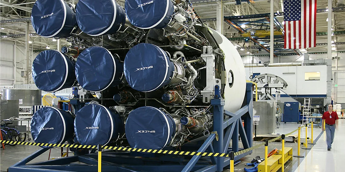
The successful launch of Sentinel-1D on November 4th, 2025, wasn’t just about adding another vital piece to Europe’s Earth observation puzzle; it also marked the debut of the Ariane 6 rocket. This new generation launcher represents a significant step forward for European space capabilities. Designed to be more cost-effective and flexible than its predecessor, Ariane 5, the Ariane 6 boasts increased payload capacity and utilizes simpler, more modular components. Its arrival signifies a renewed commitment to independent European access to space, crucial for maintaining sovereignty in critical areas like Earth observation and scientific exploration.
The choice of Ariane 6 for the Sentinel-1D launch is particularly symbolic, demonstrating its readiness for operational missions. While earlier test flights have validated its design, this deployment proves its reliability and opens the door for a wider range of future satellite deployments. The rocket’s enhanced capabilities allow it to carry heavier payloads or multiple satellites in a single mission, leading to greater efficiency and reduced costs for European space programs moving forward. This advancement strengthens Europe’s position as a key player in global space endeavors.
Looking ahead, the addition of Sentinel-1D dramatically expands the Sentinel-1 constellation’s capabilities. With four operational satellites now contributing data, coverage will increase, leading to more frequent and timely updates on crucial environmental changes, disaster response efforts, and maritime monitoring. The combined data from these satellites provides an even clearer picture of our planet’s surface, allowing for a more comprehensive understanding of phenomena like deforestation, ice sheet dynamics, and flood mapping.
Ultimately, the Sentinel-1D launch, propelled by the Ariane 6 rocket, highlights a powerful synergy between advanced satellite technology and innovative launch capabilities. This combination promises to enhance Earth observation efforts significantly, providing invaluable data for scientists, policymakers, and humanitarian organizations alike – contributing to a more informed and resilient future.
Ariane 6: A New Era of Space Launch
The Ariane 6 rocket represents a significant advancement in European space launch capabilities. Developed by Arianespace, it replaces the venerable Ariane 5 and is designed for increased efficiency and versatility. Its modular design allows for adaptation to various payload sizes and mission profiles, accommodating both smaller satellites and heavier payloads destined for geostationary orbit.
A key improvement over its predecessor is the Ariane 6’s enhanced lifting capacity. It boasts a roughly 20% increase in mass-to-orbit capability compared to the Ariane 5, enabling the launch of more complex missions or multiple satellites on a single rocket. This increased efficiency also contributes to lower launch costs, making space access more accessible for European and international partners.
The successful launch of Sentinel-1D aboard an Ariane 6 marks not only a milestone for the Copernicus program but also validates the new launcher’s capabilities early in its operational life. As Sentinel-1D integrates with the existing constellation, it will significantly bolster Earth observation data collection, providing crucial insights for environmental monitoring, disaster management, and maritime surveillance.

The Sentinel-1D launch marks a pivotal moment in Earth observation history, significantly bolstering our ability to monitor changes across the globe.
With its expanded constellation, we can anticipate even more frequent and reliable data acquisition for vital applications like disaster response, agricultural monitoring, and maritime surveillance.
This enhanced coverage represents not just an incremental improvement but a leap forward in understanding dynamic Earth processes, contributing directly to climate change mitigation and sustainable resource management.
The operational inclusion of Sentinel-1D ensures continuity of service and improves the overall resilience of the European Copernicus program, solidifying its role as a global leader in environmental monitoring from space. Its advanced capabilities will be instrumental for years to come, providing invaluable insights previously unattainable with fewer satellites in orbit. The impact of the Sentinel-1D launch extends far beyond scientific circles; it’s about empowering communities and informing policy decisions worldwide. We’re entering an era where near real-time Earth observation data is more accessible than ever before, driving innovation across various sectors. Ultimately, this translates to a safer, more sustainable future for all. The increased redundancy offered by the expanded Sentinel-1 constellation also guarantees greater stability in data delivery even during periods of satellite maintenance or unexpected events.
Continue reading on ByteTrending:
Discover more tech insights on ByteTrending ByteTrending.
Discover more from ByteTrending
Subscribe to get the latest posts sent to your email.