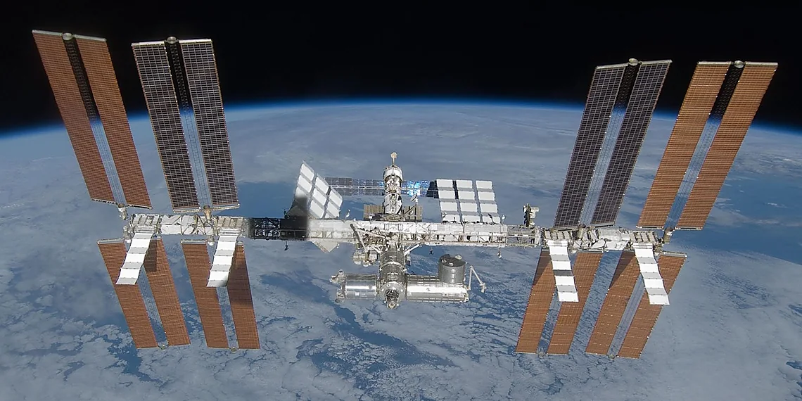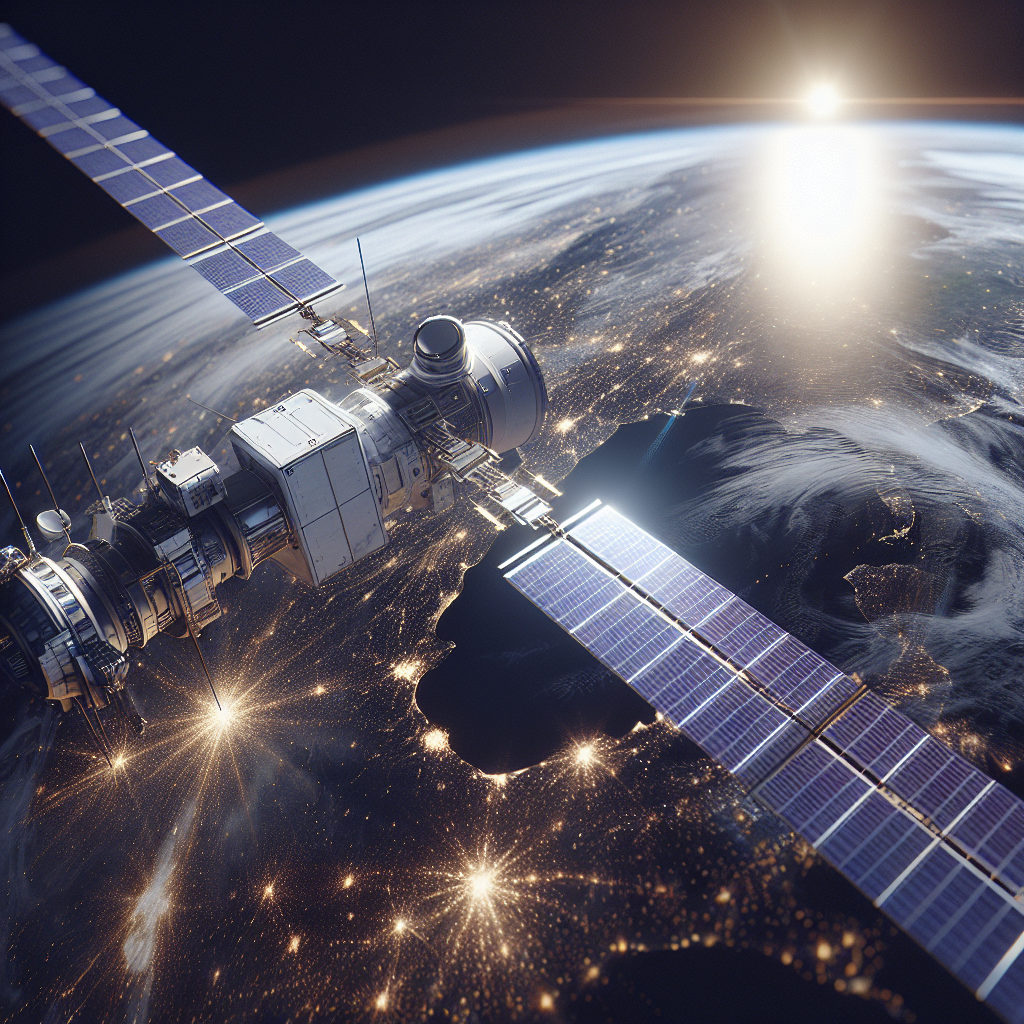

Earth Observation Satellites have become indispensable tools for understanding and managing our planet’s complex systems. These sophisticated spacecraft, operated by agencies like NASA and increasingly by private companies, provide a unique vantage point—a constant stream of data about Earth’s surface, atmosphere, and oceans. This ability to observe the planet from above is transforming industries ranging from agriculture and forestry to disaster response and climate science. The advancements in Earth Observation Satellites technology are driving crucial insights into environmental changes, resource management, and ultimately, informing effective strategies for a sustainable future.
Understanding the Capabilities of Earth Observation Satellites
The core function of an Earth Observation Satellite is to capture data across a spectrum of wavelengths – visible light, infrared, ultraviolet, and microwave. Each wavelength provides unique information about the planet. For instance, optical sensors detect reflected sunlight, revealing details about vegetation health, land use patterns, and water quality. Infrared sensors measure heat signatures, critical for monitoring wildfires, volcanic activity, and urban heat island effects. Microwave sensors can penetrate clouds and vegetation to map terrain, assess soil moisture, and monitor ice sheet dynamics. The combination of these capabilities allows scientists and decision-makers to gain a comprehensive understanding of Earth’s processes.
Spectral Analysis & Data Interpretation
Analyzing the data acquired by Earth Observation Satellites requires specialized expertise in spectral analysis. This involves identifying the unique reflectance or emission characteristics of different materials, allowing users to distinguish between vegetation types, mineral compositions, and water features. Furthermore, sophisticated algorithms are employed to correct for atmospheric effects and geometric distortions, ensuring the accuracy and reliability of the data. For example, Normalized Difference Vegetation Index (NDVI) is frequently calculated using red and near-infrared reflectance values from satellite imagery to assess plant health and biomass. Similarly, Land Surface Temperature (LST) derived from thermal infrared data helps monitor climate change impacts on land surfaces.
Sensor Technology & Satellite Platforms
The performance of an Earth Observation Satellite depends heavily on the quality of its sensors and the platform it occupies. Different platforms offer varying capabilities in terms of spatial resolution, temporal resolution (frequency of observations), and spectral range. Low Earth Orbit (LEO) satellites provide high-resolution imagery but require frequent tracking. Geostationary Orbit (GEO) satellites offer continuous coverage of a specific region but have lower spatial resolution. The choice of platform is dictated by the specific application requirements. Furthermore, advancements in sensor technology are constantly pushing the boundaries of what’s possible, with new sensors offering improved sensitivity, accuracy, and spectral capabilities. Current generation satellites feature sophisticated instruments designed for multi-spectral imaging, radar altimetry, and synthetic aperture radar (SAR) – techniques that provide detailed information about Earth’s surface characteristics.
Applications Across Diverse Industries
The applications of Earth Observation Satellites are incredibly diverse and far-reaching. In agriculture, satellite imagery is used to monitor crop health, assess irrigation needs, and optimize fertilizer application, leading to increased yields and reduced resource consumption. Forestry operations rely on satellite data for forest inventory, deforestation monitoring, and fire management. Disaster response utilizes satellite imagery for rapid damage assessment following earthquakes, hurricanes, or floods, enabling effective relief efforts. Moreover, climate scientists leverage satellite observations to track global warming trends, monitor sea level rise, and study polar ice melt.
Environmental Monitoring & Resource Management
Environmental monitoring is a critical application of Earth Observation Satellites. They are used to track pollution levels, assess water quality, map wetlands, and monitor biodiversity. For example, satellite data helps scientists track the spread of algal blooms in coastal waters or identify areas affected by deforestation. Furthermore, these satellites play a vital role in resource management, including monitoring groundwater reserves, mapping mineral deposits, and assessing renewable energy potential. The ability to observe vast areas quickly and repeatedly provides crucial insights for sustainable development.
Disaster Response & Humanitarian Aid
In the event of natural disasters, Earth Observation Satellites provide invaluable support. They offer rapid damage assessment capabilities, enabling responders to prioritize relief efforts and allocate resources effectively. Satellite imagery can also be used to track displaced populations, monitor road conditions, and assess infrastructure damage. Furthermore, satellites equipped with search and rescue sensors can locate survivors in remote or hazardous areas. The integration of satellite data into disaster response workflows has significantly improved the speed and effectiveness of humanitarian aid operations worldwide.
Conclusion
In conclusion, Earth Observation Satellites have revolutionized our ability to understand and interact with the planet. From monitoring environmental changes to supporting disaster response, these sophisticated spacecraft provide critical data that informs decision-making across a wide range of industries. Ongoing advancements in sensor technology and satellite platforms are continually expanding their capabilities, promising even greater insights into Earth’s complex systems in the years to come. The continued investment in Earth Observation Satellites is not merely a technological advancement; it’s an essential step toward building a more sustainable and resilient future for our planet.
Source: Read the original article here.
Discover more tech insights on ByteTrending.
Discover more from ByteTrending
Subscribe to get the latest posts sent to your email.